Topographic surveying
When specialist proficiency and qualifications are necessary, we are the partner you can rely on. EXACT is a large established organisation with ample personnel and resources so your projects and assignments never need stagnate. The EXACT Topographic Surveying Team is comprised of specialists in project planning documentation. Our focus is on quality and exactness. We also provide precision measurements from aerial target surveys.
We perform land surveys and deliver ready-to-use measurement data and terrain models for your project. Our expertise and equipment are also suitable for detailed industrial area surveys, where high precision and knowledge of industry-specific methods and equipment are required. We are often engaged to set aerial control targets for various types of aerial photography, and we will gladly assume full responsibility for helicopter surveys related to your project.
Cadastral surveying & property boundaries
We deliver the legal measurement data you need to determine property boundaries or create new property by dividing or merging existing one. We measure and collect data for cemetery maps and maps of above-ground and underground utility cables and pipes. Maps are available in 2D and 3D and include GIS attributes and related information. EXACT can assume full responsibility for all phases of a mapping project – from choosing a measurement method suited to the area to the compilation of data in the system of your choice. Our greatest strength is fast delivery. Exact also has a large geographical area of operation and personnel resources to deliver the finest quality, regardless of the project location.
Unmanned aerial vehicles
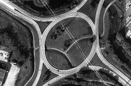
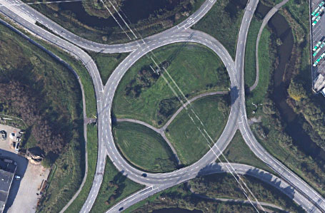
In addition to conducting ground surveys in the field, we also make use of aerial laser scanning technology and UAVs (unmanned aerial vehicles). The UAV is a valuable tool used to collect data for inspection, surveillance, mapping and 3D modelling. We recommend this fixed-wing, multi-rotor solution for orthophoto generation and the 3D mapping of your infrastructure and mining sites. Our UAV solution is a smart way to keep information on your site up to date.
Stop-and-Go 3D Scanning
The Exact 3D control car, equipped with a 3D laser scanner, enables our team to speedily survey the land surface and collect precise spatial data. The control car is especially useful in creating topographic maps, surface contour plans, 3D visualizations and digital models of terrain (DMTs). We can scale mapped areas of up to one million square meters per day and measure the smallest details with the greatest accuracy by relying on the latest in laser scanning technology.
Paul Hermansson
Business Manager Design & Rail
+46 (0)70-235 49 95
paul.hermansson@teamexact.com


